And it is He who sends down water from the sky. With it We produce vegetation of all kinds, from which We bring greenery, from which We produce grains in clusters. And palm-trees with hanging clusters, and vineyards, and olives, and pomegranates, similar and dissimilar. Watch their fruits as they grow and ripen. Surely in this are signs for people who believe. - Quran, 6. Livestock (al-An'am) (99)
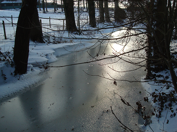
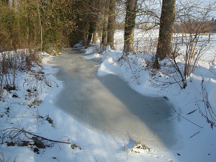
Pede's Mill is equipped with three millstones, a sack hoist, an oats crusher and a boulter (a rotary sieve to produce white flour). The overshot water wheel has a diameter of 2.20 metres and is 1.10 metres wide. The dam is made of oak wood (Quercus): this is the most resistant wood to be found in the area. Due to the relatively low flow of the brook, the miller had to collect enough water to be able to operate the mill for several hours. The small brook that flows past the mill often carries an insufficient quantity of water, mainly during the summer and early autumn. To secure a sufficient flow, water was saved up between two mill sessions.
Mill ponds
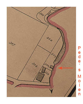
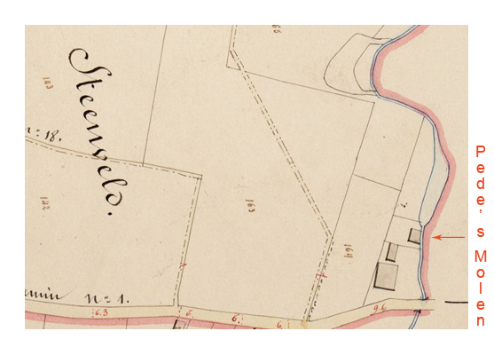
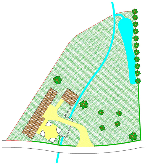
On the maps of Hundelgem, which were drawn by Philippe Christian Popp and published around 1850, we see that the brook had been broadened upstream, just before the dam. The Atlas of the Byroads (« Atlas der Buurtwegen ») of 1844 represents the same disposition. The current situation is slightly different, as we find an additional separate mill pond higher up the brook.
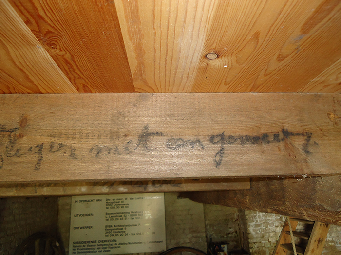
On the lower floor, we find several inscriptions on the beams that support the floor of the upper level. These inscriptions were made with charcoal and always mention a name and a date. The significance of these inscriptions is uncertain. It could be a record of people who owed the miller money.